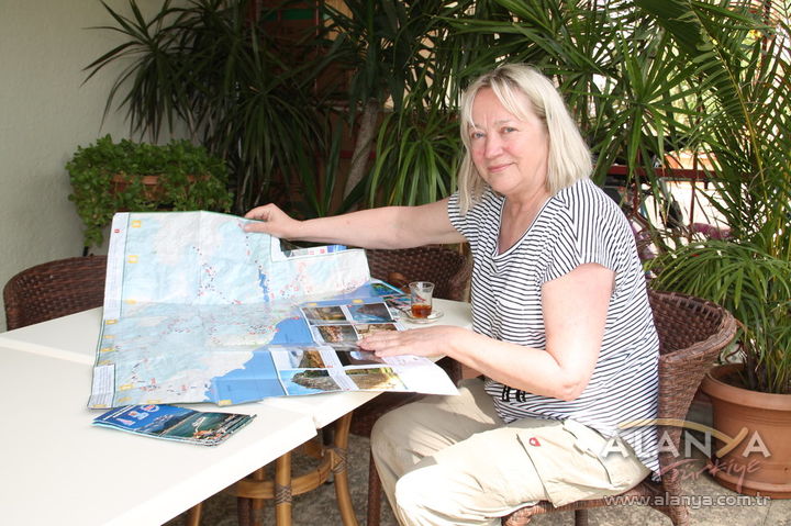
The maps of the Alanya Nature Sports Project, which is the third project implemented by the Alanya Tourist Operators Association (ALTİD) with a grant received from the Western Mediterranean Development Agency (BAKA), are meeting with great interest from resident foreigners, long-term holidaymakers, and trekking and orienteering groups. The maps printed within the scope of the project can be obtained free of charge from ALTİD.
“THERE ARE SIGNS ON THE ROUTES”
Making a statement on the subject, Burhan Sili, Board Member of the Turkish Hotel Association (TÜROFED) and President of ALTİD, said, “In line with the emerging demand and with the support of BAKA, we have determined a total of 31 tracks consisting of walking, cycling, and jeep routes. We had a GPS-compatible extreme sports map prepared through studies, which includes these tracks where the shortest distance is 4.5 kilometers and the longest distance reaches 30 kilometers, and we have placed information and directional signs on these routes. Whether residents or vacationers, domestic or foreign, groups that love being in touch with nature are showing great interest in these maps. Beyond the trinity of sea, sand, and sun, we aim for the historical and natural beauties of our Alanya to be better known by our citizens and for its recognition abroad to increase. It takes at least 30 days to walk all of the tracks."
FINNISH PEOPLE ARE GOING ON AN EXPLORATION
Marja Leena Kostiainen, a Finn who has been living in Alanya with her family for four years, stated that there are amateur hiking groups consisting of Finns, and that they set out to discover the natural and historical beauties of Alanya using the ALTİD Nature Sports Map and the directional and information signs placed along the routes as part of the project, without using any technological devices. Stating that she spends 6 months of the year in Alanya and the other 6 months in Finland, Kostiainen said, “Trekking and orienteering, which is performed in indoor or outdoor areas, are very popular in Finland. With this project carried out by ALTİD, a great void has been filled in Alanya. I thank the authorities on this matter.”
DIGITAL FORMAT ON THE INTERNET
Additionally, the GPS-compatible digital format of the trekking map created within the scope of the project can be obtained free of charge from the www.alanyanature.com website. ALTİD’s other two projects besides the Alanya Nature Sports Project consist of the titles “Surfing Days in Alanya” and the “Alanya Coastal Safety Improvement Project.”