ALTİD has signed another very important project within the scope of tourism diversification efforts. The following statements were included in the announcement made by the association:
Our Association's “Alanya Nature Sports Development Project,” numbered TR61/14/TRZMK/0031, has won grant support within the scope of BAKA's 2014 financial support program.
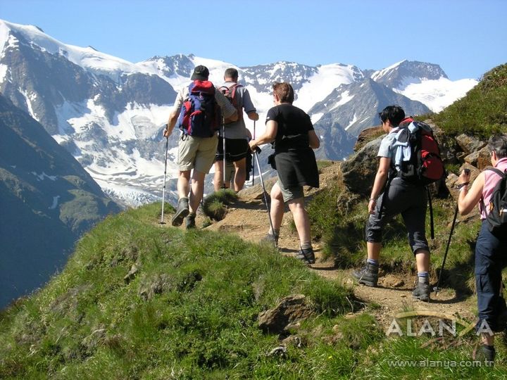
The general objective of our project, which is 80 percent supported by BAKA and in which Alanya Municipality, Alanya Nature Sports Club (ALDOSK), and Alanya Tourism Promotion Foundation (ALTAV) are participants, is to contribute to Turkey's promotion through sports, the diversification of destinations in sports tourism, its integration, its desirability, and the increase of competition; its specific objectives are to promote Alanya through nature sports, trekking-hiking, and cycling sports, to remove tourism from its seasonal nature in our region to extend the tourism season, to spread the season across 12 months, and to diversify our product in tourism.
In our region, which is suitable for nature sports, the activities included in the project aim to sustain the existing potential through alternative tourism opportunities. A track map has been drawn covering a total area of 2,170 square kilometers, with a width of 56 kilometers and a depth of 40 kilometers, encompassing the ancient cities of Syedra and Leartes to the east of Alanya, the Akdağ Ski Center to the northeast, Oba – Alacami, Kızılalan, Aksaray, Basırlı, Mahmutseydi, Türktaş, Süleymanlar, Karamanlar, Gedevet, Alara Han and Hamaxia to the west, the Küçük Ayasofya historical area to the north, and the Karayolları location in the Alanya center to the south. Trekking, cycling, and off-road routes will be established on existing roads that can be interconnected, starting from the Alanya center, by positioning kilometer-based directional signs, information boards with track maps, and marker poles, and by installing crossing bridges and observation/meeting towers where necessary. The activities included in the project also consist of preparing brochures that introduce the maps and tracks to be used in tourism fairs, conducting nature hiking training in the track areas to carry out dissemination activities for the people of Alanya and enthusiasts of this sport, and having one orienteering map drawn.